ProDroneWorx
Aerial & Terrestrial Surveying, Inspection & Modelling
Service
What we do
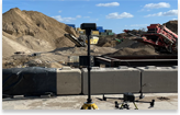
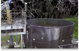
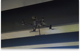
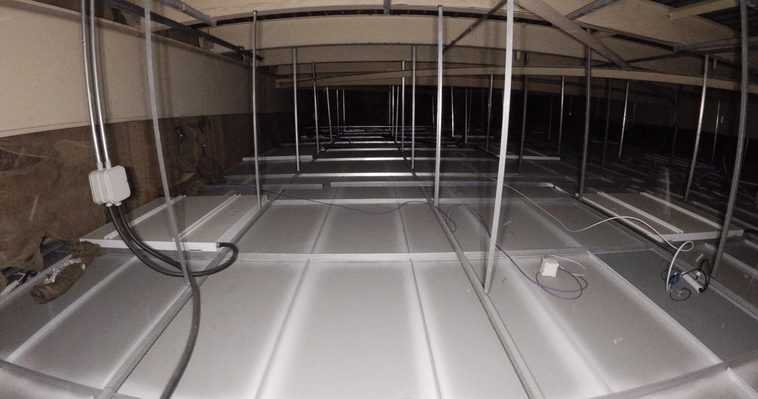
We are one of the leading digital inspection, surveying and modelling companies in the UK, ProDroneWorx has spent more than 7 years providing a range of measurement, inspection and surveying services using drone technology, terrestrial laser scanning, remote control boats, GPR etc.
We are multi-disciplinary firm using the most advanced technologies and techniques to provide our clients with actionable data that allows them to make informed decisions on their projects or assets.
We have worked on some of the most prestigious development projects in the UK and work with clients in the construction, infrastructure and asset management industries.